
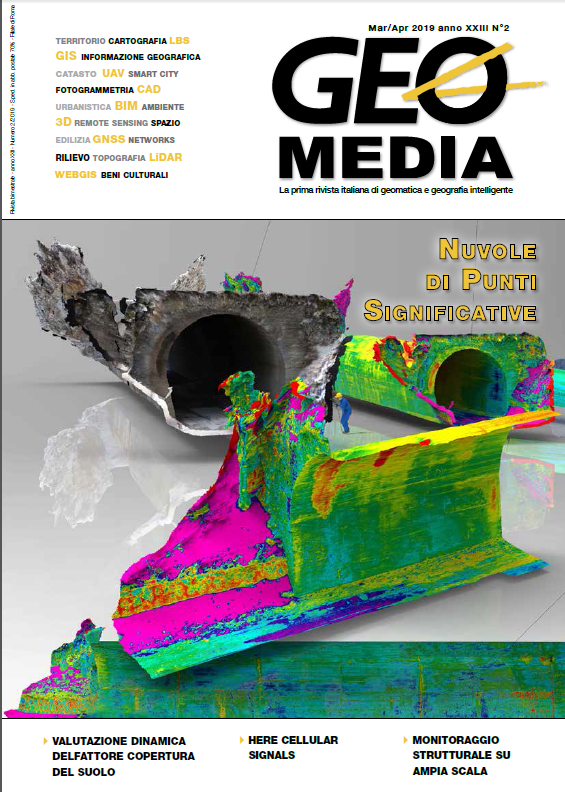
Nuvole di punti semantiche
Parole chiave:
nuvole di punti, fotogrammetria, laser scanner, semantica, classificazione, Intelligenza ArtificialeAbstract
Point clouds, generated by photogrammetry or laser scanning, mainly contain geometric information. This makes them not very useful for different applications.
Artificial Intelligence methods have opened up a new area of research and development, providing automatic solutions for segmentation and classification purposes.
Riferimenti bibliografici
Grilli, E., Menna, F., Remondino, F., 2017. A review of point clouds segmentation and classification algorithms.
ISPRS International Archives of Photogrammetry, Remote Sensing and Spatial Information Sciences, Vol. 42.
Grilli, E., Remondino, F., 2019. Classification of 3D Digital Heritage. MDPI Remote Sensing, Vol. 11(7), 847; https://doi.org/10.3390/rs11070847
Hackel, T., Wegner, J.D., Schindler, K., 2016. Fast semantic segmentation of 3D point clouds with strongly varying density. ISPRS Annals of Photogrammetry, Remote Sensing and Spatial Information Sciences, Vol. III(3), pp. 177-184.
Ozdemir, E., Remondino, F., 2018. Segmentation of 3D photogrammetric point cloud for 3D building modeling. ISPRS International Archives of Photogrammetry, Remote Sensing and Spatial Information Sciences, Vol. XLII-4/W10, pp. 135-142
Ozdemir, E., Remondino, F., 2019. Classification of aerial point clouds with deep learning. ISPRS International Archives of Photogrammetry, Remote Sensing and Spatial Information Sciences. Proceedings
Geospatial Week 2019, in press. Weinmann, M., Weinmann, M., 2017. Geospatial Computer Vision based on multi-modal data - How
valuable is shape information for the extraction of semantic information? Remote Sensing, Vol. 10(1).
Dowloads
Pubblicato
Fascicolo
Sezione
Licenza
Gli autori che pubblicano su questa rivista accettano le seguenti condizioni:- Gli autori mantengono i diritti sulla loro opera e cedono alla rivista il diritto di prima pubblicazione dell'opera, contemporaneamente licenziata sotto una Licenza Creative Commons - Attribuzione che permette ad altri di condividere l'opera indicando la paternità intellettuale e la prima pubblicazione su questa rivista.
- Gli autori possono aderire ad altri accordi di licenza non esclusiva per la distribuzione della versione dell'opera pubblicata (es. depositarla in un archivio istituzionale o pubblicarla in una monografia), a patto di indicare che la prima pubblicazione è avvenuta su questa rivista.
- Gli autori possono diffondere la loro opera online (es. in repository istituzionali o nel loro sito web) prima e durante il processo di submission, poiché può portare a scambi produttivi e aumentare le citazioni dell'opera pubblicata (Vedi The Effect of Open Access).

