
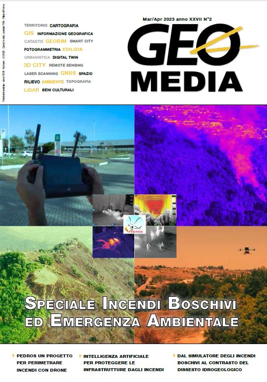
Progetto PEDROS - Perimetrazione automatica di incEndi con DRone equipaggiato con sensOre Specifico
Parole chiave:
uav, gnss, sensori, NIR, SWIR, algoritmo, incendi boschiviAbstract
The proposed system provides for the development of a SAPR system (Airborne Remote Pilotage System) which can be
of assistance to the detailed perimeter, of wooded areas attacked by insects/pathogens and/or by forest fires in order to
transmit to the competent authorities the certification of these areas affected by environmental damage, in compliance with current legislation. This activity is normally carried out through the interpretation of satellite image analyzes with spatial resolutions that are not always adequate for the purpose, which often entails the need for re-perimeteration in the field carried out by operators equipped with GNSS handheld systems.
Riferimenti bibliografici
Key, C. H., & Benson, N. C. (2005). Landscape assessment: Remote sensing of severity, the Normalized Burn Ratio. In D. C. Lutes (Ed.), FIREMON: Fire effects monitoring and inventory system. General Technical Report, RMRS- GTR-164-CD:LA1-LA51. (pp.) Ogden, UT: USDA Forest Service, Rocky Mountain Research Station.
Key, C. H., & Benson, N. C. (2005). Landscape assessment: ground measure of severity, the Composite Burn Index. In D. C. Lutes (Ed.), FIREMON: Fire effects monitoring and inventory system. General Technical Report, RMRS- GTR-164-CD:LA1-LA51. (pp.) Ogden, UT: USDA Forest Service, Rocky Mountain Research Station.
Lopez Garcia, M. J., & Caselles, V. (1991). Mapping burns and natural reforestation using Thematic Mapper data. Geocarto International,
, 31-37.
Miller, J. D., & Yool, S. R. (2002). Mapping forest post-fire canopy consumption in several overstory types using multi-temporal
Landsat TM and ETM data. Remote Sensing of Environment, 82(2-3), 481-496.
Avery & Berlino, 1992; Elvidge, 1990.
Jia et al., 2006; Kokaly et al.
Rif. immagine: “Burned Area Mapping with Sentinel-2 using SNAP” Corus ESA Copernicus, Portugal, 2017
Rif.immagine (modificata dall’autore): Elowitz, Mark R. “What is Imaging Spectroscopy (Hyperspectral Imaging)?, republished in “Vegetation Analysis: Using Vegetation Indices in ENVI”, L3-Harris whitepaper.
Jay D. Miller, Andrea E. Thode (2006). Quantifying burn severity in a heterogeneous landscape with a relative version of the delta
Normalized Burn Ratio (dNBR). Remote Sensing of Environment 109 (2007) 66-80, Elsevier.
Rif.immagine: “Burned Area Mapping with Sentinel-2 using SNAP” Corus ESA Copernicus, Portugal, 2017.
TEC – Thermo-Electric Cooler. Modulo di raffreddamento a cella di Peltier.
Il grado di protezione IP si compone di 2 cifre. La prima indica il grado di protezione da corpi solidi (4 indica protezione da
oggetti solidi maggiori di 1 mm). La seconda cifra indica la protezione da liquidi (3: vapori d’acqua, 4: spruzzi d’acqua, 5: getti d’acqua).
modelli DJI (Matrice 200 e 300), Explorer 1000 (dronebase), e Durante (italdron): autonomia di volo a pieno carico da specifica. Per gli altri modelli è stata stimata in rapporto alla massima autonomia di volo dichiarata.
##submission.downloads##
Pubblicato
Come citare
Fascicolo
Sezione
Licenza

Questo lavoro è fornito con la licenza Creative Commons Attribuzione - Non commerciale - Condividi allo stesso modo 4.0 Internazionale.
Gli autori che pubblicano su questa rivista accettano le seguenti condizioni:- Gli autori mantengono i diritti sulla loro opera e cedono alla rivista il diritto di prima pubblicazione dell'opera, contemporaneamente licenziata sotto una Licenza Creative Commons - Attribuzione che permette ad altri di condividere l'opera indicando la paternità intellettuale e la prima pubblicazione su questa rivista.
- Gli autori possono aderire ad altri accordi di licenza non esclusiva per la distribuzione della versione dell'opera pubblicata (es. depositarla in un archivio istituzionale o pubblicarla in una monografia), a patto di indicare che la prima pubblicazione è avvenuta su questa rivista.
- Gli autori possono diffondere la loro opera online (es. in repository istituzionali o nel loro sito web) prima e durante il processo di submission, poiché può portare a scambi produttivi e aumentare le citazioni dell'opera pubblicata (Vedi The Effect of Open Access).

