
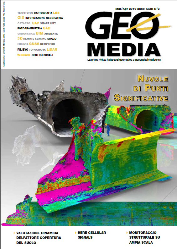
Descrizione di un flusso di lavoro per il rilievo tridimensionale di manufatti di ingegneria civile a supporto dello studio delle patologie edilizie e strutturali
Parole chiave:
Rilievo tridimensionale, fotogrammetria, intelligenza artificiale, infrastrutture, patologieAbstract
Description and graphic illustration of an hybrid technique for the automatic registration of RGB images captured with drone and proximity photogrammetry, thermal images and 3D laser scanner. Automatic restitution
of reliefs of the deterioration of the building in schedules and tables starting from the point cloud, representation and automatic measurement of the progress of the works. Using AI during acquisition and post processing of datasets.
##submission.downloads##
Pubblicato
2019-07-05
Come citare
Santoro, N. (2019). Descrizione di un flusso di lavoro per il rilievo tridimensionale di manufatti di ingegneria civile a supporto dello studio delle patologie edilizie e strutturali. GEOmedia, 23(2). Recuperato da https://www.mediageo.it/ojs/index.php/GEOmedia/article/view/1634
Fascicolo
Sezione
REPORT
Licenza
Gli autori che pubblicano su questa rivista accettano le seguenti condizioni:- Gli autori mantengono i diritti sulla loro opera e cedono alla rivista il diritto di prima pubblicazione dell'opera, contemporaneamente licenziata sotto una Licenza Creative Commons - Attribuzione che permette ad altri di condividere l'opera indicando la paternità intellettuale e la prima pubblicazione su questa rivista.
- Gli autori possono aderire ad altri accordi di licenza non esclusiva per la distribuzione della versione dell'opera pubblicata (es. depositarla in un archivio istituzionale o pubblicarla in una monografia), a patto di indicare che la prima pubblicazione è avvenuta su questa rivista.
- Gli autori possono diffondere la loro opera online (es. in repository istituzionali o nel loro sito web) prima e durante il processo di submission, poiché può portare a scambi produttivi e aumentare le citazioni dell'opera pubblicata (Vedi The Effect of Open Access).

